Getting Around in Utah
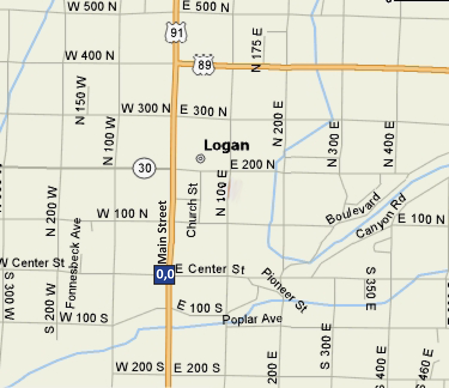
Like many cities in Utah, Logan's street naming and numbering system is based on a grid system with the intersection of Main Street (Hwy 91) and Center Street as the center of town or grid point 0,0. From the center of town (grid point 0,0), the streets are incremented by 100, and are named by their position relative to the center. The names of streets running North/South and positioned to the east of Main Street are named 100 East, 200 East, 300 East and so on.
The same logic applies to the streets on the other three sides. For example, if you are looking for 300 South 500 East, the location will be three blocks south and five blocks east of the center of town. Confusion sometimes comes into play because the streets that run North/South are called either an "East" street or a "West" street. Remember, they are named after their positions relative to the center and not the direction they run. Also, note that locals tend to say "First South" when they are referring to "100 South" or "Tenth North" when they are referring to "1000 North," and so forth.

Map of Downtown Logan, Utah. Note that streets are arranged in a grid system where the center point (0,0) is the intersection of Main Street (Hwy 91) and Center Street.
For information about Logan/Cache Valley's fare-free bus system,


